The source
The Yeleru
reservoir
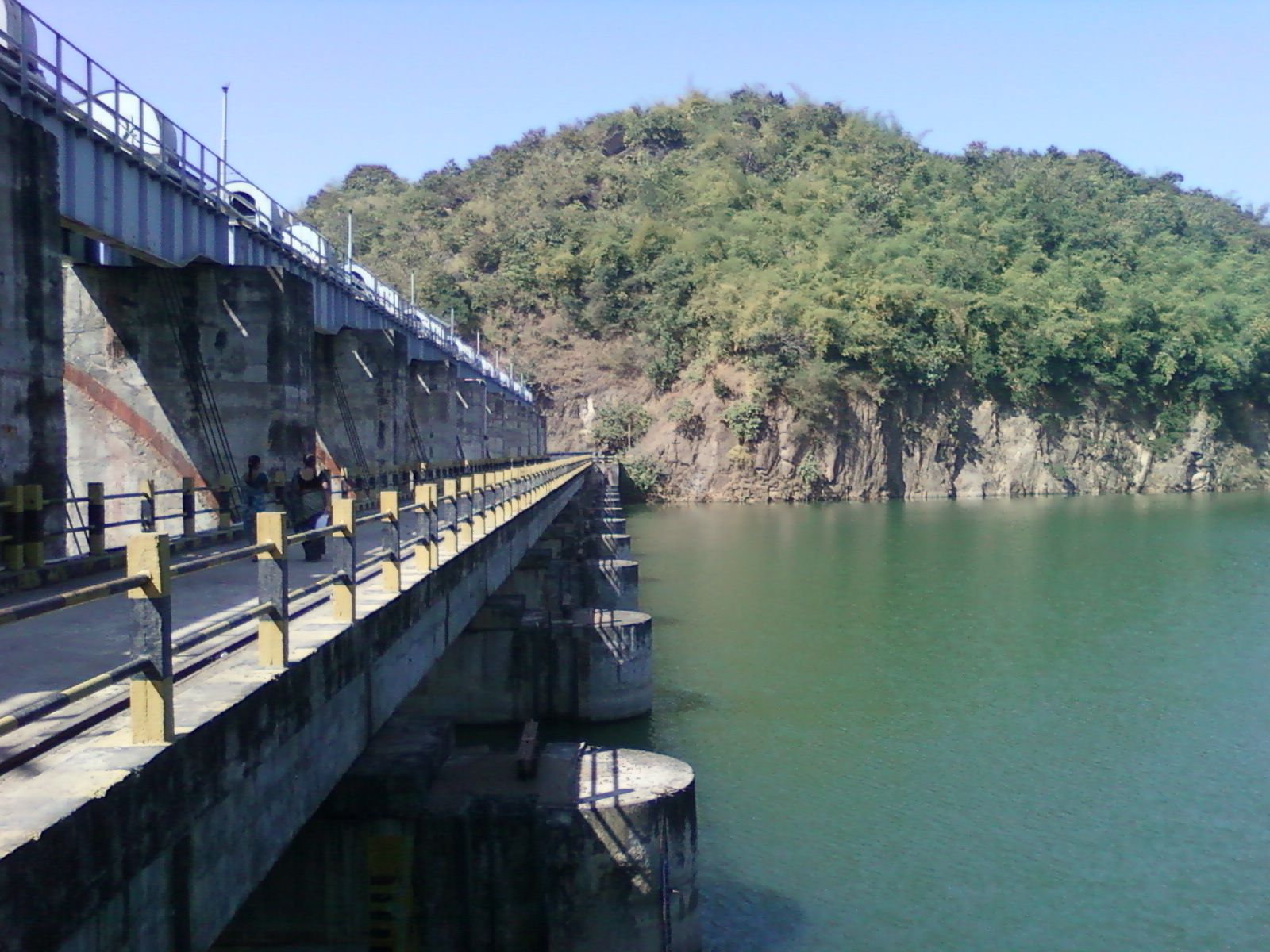
An earth dam across the Yeleru river near Yeleswaram, with 24.11 TMC of gross storage, irrigating farmland and supplying water to Visakhapatnam.
About the project
The Yeleru Reservoir Project (YRP) dams the Yeleru river to form a reservoir near Yeleswaram village, with a gross storage capacity of 24.11 TMC.
Phase I supplies 73 million gallons a day to the steel plant at Visakhapatnam and stabilises 67,614 acres of existing ayacut in the Yeleru irrigation system.
Phase II plans to irrigate 1.55 lakh acres in the East Godavari and Visakhapatnam districts, once the Polavaram project and its Left Main Canal are complete.
Plant location
Yeleswaram
Kakinada District (formerly East Godavari), Andhra Pradesh
17°18′ N · 82°05′ E
Salient features
| Location | Yeleswaram village & mandal, Kakinada district |
|---|---|
| Coordinates | 17° 18′ 0″ N, 82° 5′ 30″ E |
| Year of completion | 1991 |
| Gross storage | 24.11 TMC |
| Live storage | 17.95 TMC |
| Dead storage | 6.16 TMC |
| Full reservoir level (FRL) | +86.56 m |
| Minimum draw-down level (MDDL) | +72.54 m |
| Spillway crest level | +76.56 m |
| Lowest river bed level | +48 m |
| Foreshore area at FRL | 59.36 km² |
| Ayacut | 53,017 acres |
| Dependable net yield | 24 TMC |
| Allocation for irrigation (kharif & rabi) | 12.95 TMC |
| Allocation for industry (GVMC / VIWSCo) | 5 TMC |
| Maximum flood discharge | 2.85 lakh cusecs |
| Canals | Open head channels |
| Mandals benefited | Kirlampudi, Gollaprolu, Pithapuram, Jaggampeta, Yeleswaram, Prathipadu |
| Villages benefited | 76 |
Source: Water Resources Department, Government of Andhra Pradesh